
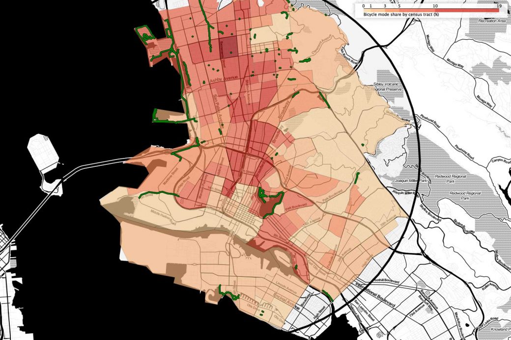
I was interested in doing comparative analysis of urban street networks and demographic data at national scale. Programming in Python, I integrated street network data from OpenStreetMap, and demographic and employment data from the U.S. Census API, to create maps demonstrating interactions between cycling infrastructure, jobs, ethnicity and race. Using data from these maps, I was able to demonstrate strong correlations between street network density and cycling rates.
More information is available on The Bike Lab blog.
Technologies used:
- Python/Jupyter
- AWS containers
- Geopandas
- OSMnx
- U.S. Census APIs
- Google Maps APIs